Nature
There are two small islets off the southern tip, Vattuniemi, one of which is reachable by foot. Reaching the nearby Sisä-Hattu island requires some wading, as the land connection is only usable when the water level is 30 centimetres below average.
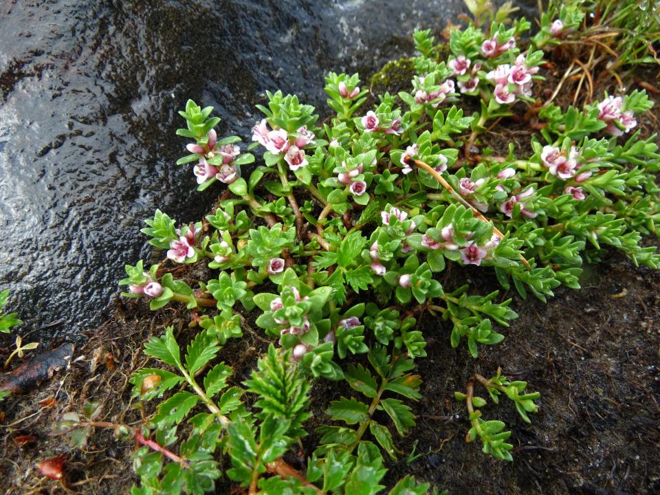
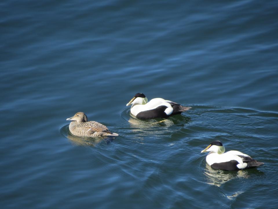
Sisä-Hattu is a popular spot for trout fishing and bird watching. Birds typically found in the area include great cormorants, tufted ducks and common goldeneyes. In July–August, the coastal meadows of Sisä-Hattu are coloured by red lesser centaury flowers, though the flowers remain closed on cloudy days and in the evenings. There is also sea sandwort and large sand ryegrass growing in the islets’ rocky depressions. The trees growing on the shores consists of windswept common alders and old Scots pines.
The southernmost tip of Lauttasaari was put into military use during the Crimean War. The past presence of Russian soldiers can be deduced from the area’s unofficial name, Ryssänkärki, and the plant species still growing in the area today. These include hoary alyssum and warty cabbage, the seeds of which arrived here mixed in with horse feed and bread grains shipped over from the Russian steppes for soldiers.
Myllykallio is a rocky, forested area, where you can also see parts of the ancient shore of the Littorina Sea. The bird watching tower atop Myllykallio offers a good view of the surrounding sea areas in all directions.
Routes
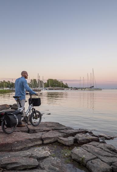
Lauttasaari has plenty of paths that allow you to circle the entire island. The open sea expands out in the most spectacular way at Lauttasaari’s southern point, while the northern shore offers a great view of the inner archipelago of Seurasaarenselkä.
The Lauttasaari walking route takes you to the island’s beautiful shores as well as to Myllykallio. The route is approximately 6.7 km in length and travels along accessible paths in the shore areas. The Myllykallio part of the trail includes some rocky sections without paths. The route can be walked in any order or only partially.
The Lauttasaari circuit cycling route circles the entire island, following the shore. The route is approximately 10.3 km in length.
History
Lauttasaari was a privately-owned island up until the early 20th century. Its owner, Commercial Counsellor Julius Tallberg, established a villa community on the island and a beach at Hevosenkenkälahti, complete with casino, which was reachable from the ferry pier by a horse-drawn tram. The tiny Mutterikahvila, or Cafe Mutteri, at the base of Lauttasaari bridge is a left-over from the days of the ferry connection.
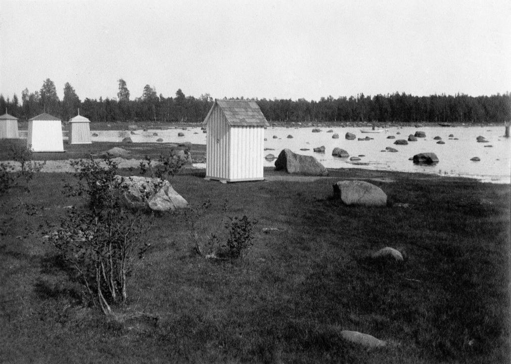
The island’s southern shores were fortified during the Crimean War. There is also an anti-aircraft cannon dating back to World War II at the eastern end of the fortification wall in Vattuniemi, which is also called Ryssänkärki. Next to this is an old wooden swimming facility which is used by a swimming society. From the 1920s, Eteläranta was a popular folk park among Helsinki residents, particularly as a camping destination. Later on a number of small summer huts began to appear, which are still in use today.
There was an anti-aircraft artillery battery in the Myllykallio area during the Winter and Continuation Wars. One of the six anti-aircraft cannons dating back to the Continuation War was unveiled as a monument in 1980.
The district of Lauttasaari was joined with Helsinki in 1946. The first bridge to the island was completed in 1935.
Learn more about the nature of Lauttasaari at citynature.eu.
How to get there
The journey from Helsinki Railway Station takes around 5 minutes by metro. Get directions.

